(0759) Much cloud out there but much blue too.
ddddd
7. TPA from the weekend
The Welfare Map is a landmark tool which presents benefit spending down to constituency level across England and Wales. The interactive map allows you to look up official data, including total benefit spend and number of claimants, welfare claims by age group, Personal Independence Payment (PIP) spend and claims for selected conditions and PIP Mobility awards. The map presents the latest data and shows changes since 2021, the end of the covid pandemic, and since 2024, when Labour came to office. Check out the map here.
Breaking down the data constituency-by-constituency and council-by-council, you can see exactly what the situation is in your local area and compare it to places around you or anywhere else you fancy.
Alongside the launch of the map, we’ve released new figures detailing how much welfare spending is happening in different areas across the country. Looking at six major benefits (universal credit, personal independence payment, housing benefit, disability living allowance, carer’s allowance and employment and support allowance), we’ve calculated the total amount spent on them in each of the 575 parliamentary constituencies in England and Wales, allowing the size and growth of the local welfare bill to be compared across constituencies, regions and political parties.
6. Backwashing sewage
… a nice brekky topic from Andy…
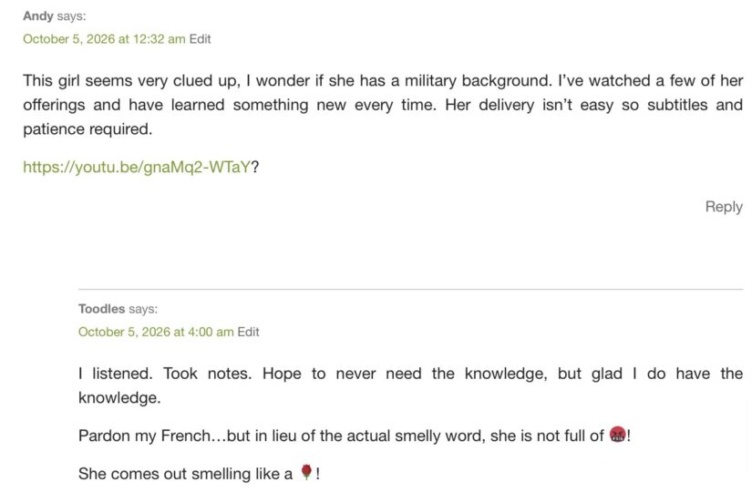
The url is in the comments thread, this is a screenshot:

Excuse me if I fail to understand but is this not a man in the thumbnail but it looks a sort of woman in the YT? Anyway, be careful of backwashing sewage once the power fails and the sewage pumps with it. (Planned event)